| ||
|
| ||
India Profile >> India Maps >> Pondicherry Map
Book Your Tour Now

Pondicherry Map
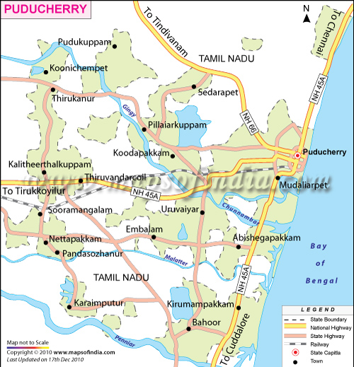
India Profile brings you the Pondicherry map that shows you the important tourist places in Pondicherry. Pondicherry, on India's East coast is a Union Territory of India that consists of 4 enclaves - namely Pondicherry and Karaikal in Tamil Nadu, Mahe in Kerala and Yanam in Andhra Pradesh. On the Pondicherry map you can see its capital Pondicherry and the other tourist destinations in Pondicherry. To know more about Pondicherry India, just take a look at the Pondicherry map.
| |
Map Courtesy: MapsofIndia.com |
| Maps of India |
| Tourist Maps of Union Territories of India |
| Andaman & Nicobar Map | Chandigarh Map |
| Dadra & Nagar Haveli Map | Daman & Diu Map |
| Lakshadweep Map | Pondicherry Map |
| Tourist Maps of Metro Cities of India |
| Delhi Map | Mumbai Map |
| Chennai Map | Kolkata Map |
| Bangalore Map | Hyderabad Map |
| Pune Map | |